Winter Storm Could Brush the Gulf Coast While Slamming Areas to Our North
Forecasters from the National Weather Service in Mobile outline two storm scenarios and say the final track will decide who sees ice and who sees rain.
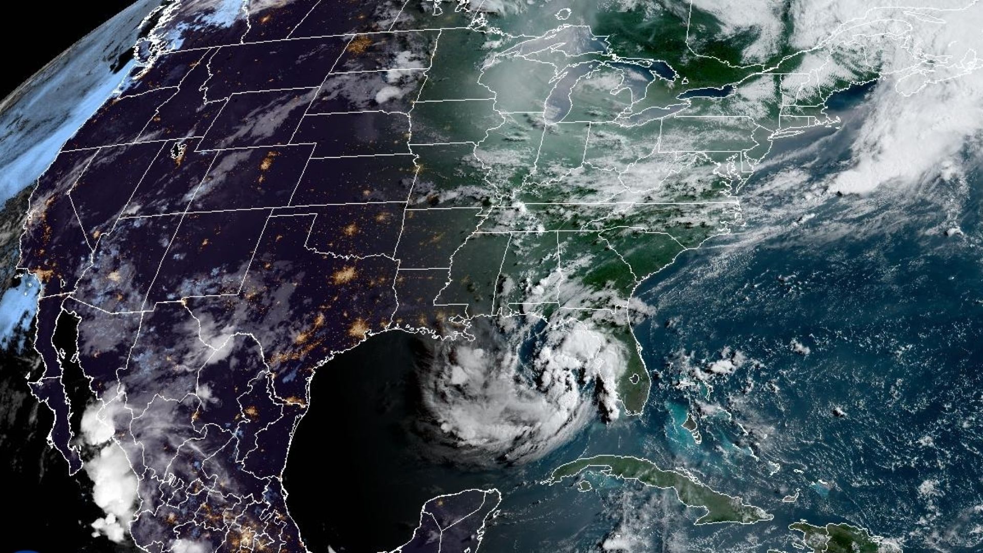
Orange Beach, Ala. — (OBA) — A major winter storm is taking shape for the southern United States this weekend, but forecasters say the worst conditions are expected to stay north of the immediate Gulf Coast. Even so, residents along the shoreline, including in the Orange Beach, Gulf Shores & Foley areas, are being urged to closely monitor the changing forecast. Two possible storm tracks could bring very different conditions. Officials stress that there is still significant uncertainty this far out.
The latest update was issued around 8 a.m. on January 21 and covers the upcoming weekend period, when the storm system is expected to move across the region. Forecasters say the atmosphere is cold enough to support some type of frozen precipitation in parts of the South from Friday through Sunday. However, the exact placement of the wintry weather band and how far south it reaches remain in question.
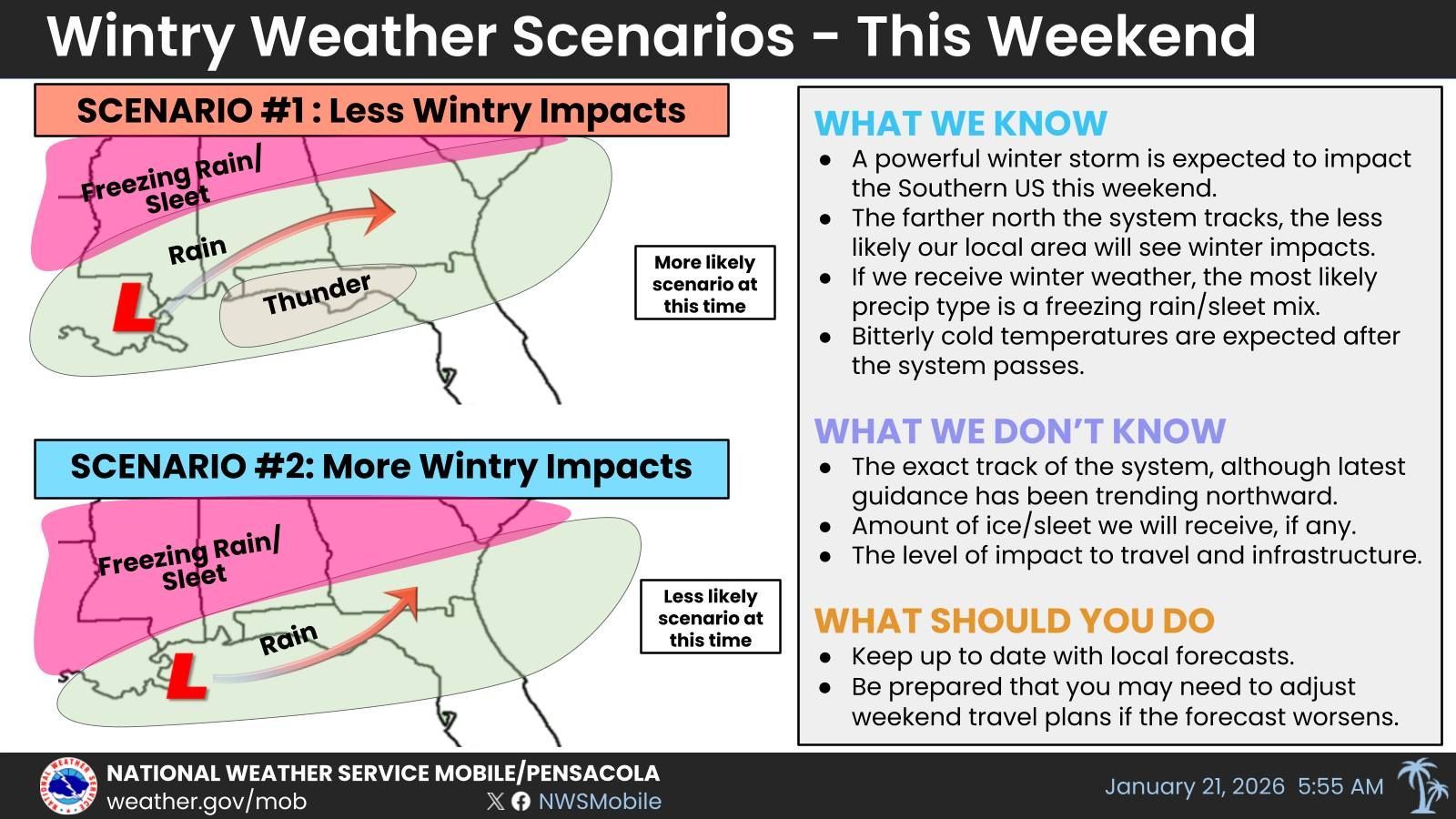
Under Scenario 1, the storm system tracks farther north, keeping the most serious winter impacts away from Gulf Coast counties. In that case, communities on the immediate coastline would see mainly cold rain and possibly some thunderstorms, while areas to the north deal with freezing rain and sleet. This is currently considered the more likely outcome, meaning the heaviest ice and snow would stay well inland from the immediate Gulf Coast.
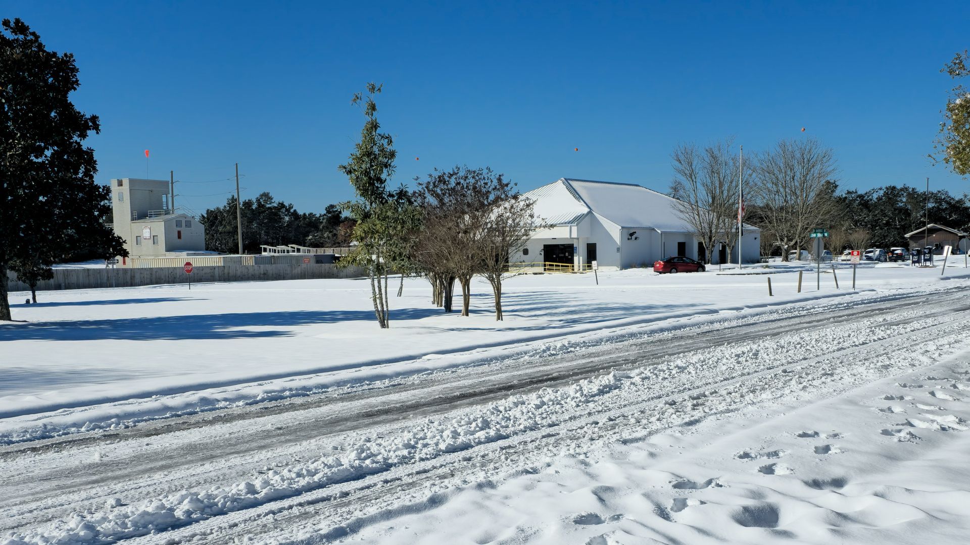
Scenario 2 shows the system sliding farther south, pulling the zone of freezing rain and sleet closer to the Gulf Coast. If that happens, more locations in south Alabama and northwest Florida could face slick roads, ice on bridges, and a higher risk of power outages. Forecasters emphasize that even a small shift in the storm track could move the ice corridor closer to or farther from the shoreline.
Meteorologists say the region is still three to four days away from the main impacts, which means the forecast will likely change as new data arrives. Because of that, they plan to monitor model trends very closely through the rest of the week and adjust the outlook as needed. For now, the greatest concern remains for areas north of the coastal counties, where confidence is higher that significant wintry precipitation will occur.
Travelers are being urged to pay close attention to updates, especially anyone planning to drive north away from the coast this weekend. Officials note that some people may need to change or delay trips if freezing rain or sleet develops along their route. Residents are also encouraged to review basic cold-weather preparations in case the ice zone shifts south and brings more serious impacts to the immediate coastline.
Local emergency managers say staying informed is the best way to stay safe amid a rapidly changing winter pattern. They recommend checking reliable weather sources several times a day, watching for advisories or warnings, and being ready to protect people, pets, and pipes if temperatures plunge after the storm passes.
For the latest information, visit the
National Weather Service’s Mobile Office.
Share this article w/ Friends...